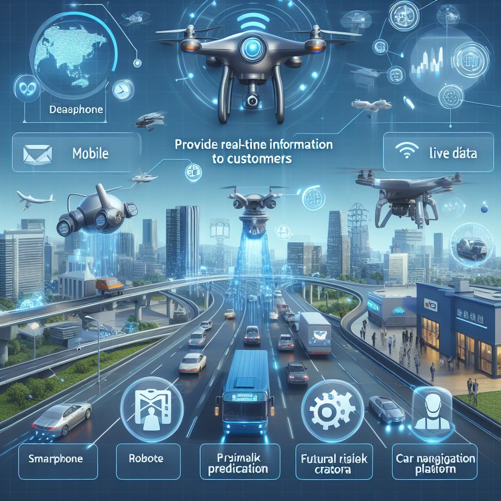
Purpose of autonomous AI “ZENO” Real-time data analysis: Collect and analyze environmental data such as weather information, sensor data, and -SKY drone traffic information in real time. Risk Mitigation: Leverage big data to minimize risk.

Drone taxis equipped with autonomous driving navigation systems are attracting attention as the next generation of transportation. Here is an overview:
1. **Navigation Technology**:
– **GPS**: Used to determine the drone’s position.
– **IMU (Inertial Measurement Unit)**: Detects the drone’s movement and supports stable flight.
– **Barometer**: Measures altitude and enables precise flight¹².

2. **Sensor Technology**:
– **Cameras and Image Recognition**: Used to detect and avoid obstacles.
– **Ultra-Wideband (UWB) Devices**: Provides highly accurate location information.
– **Extended Kalman Filter**: Integrates data from sensors to improve accuracy¹².
3. **AI and Machine Learning**:
– **Route Planning**: Calculates optimal flight paths using AI algorithms.
– **Obstacle Avoidance**: Has the ability to detect and avoid obstacles in real time³.

4. **Experiments and Demonstrations**:
– The performance and reliability of the system are verified through actual flight experiments¹².
With such technological advances, drone taxis are expected to help alleviate traffic congestion in urban areas and become an efficient means of transportation in the future.